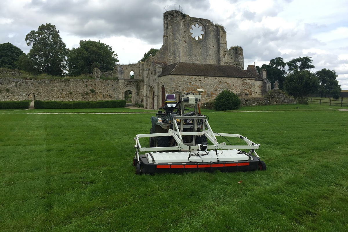
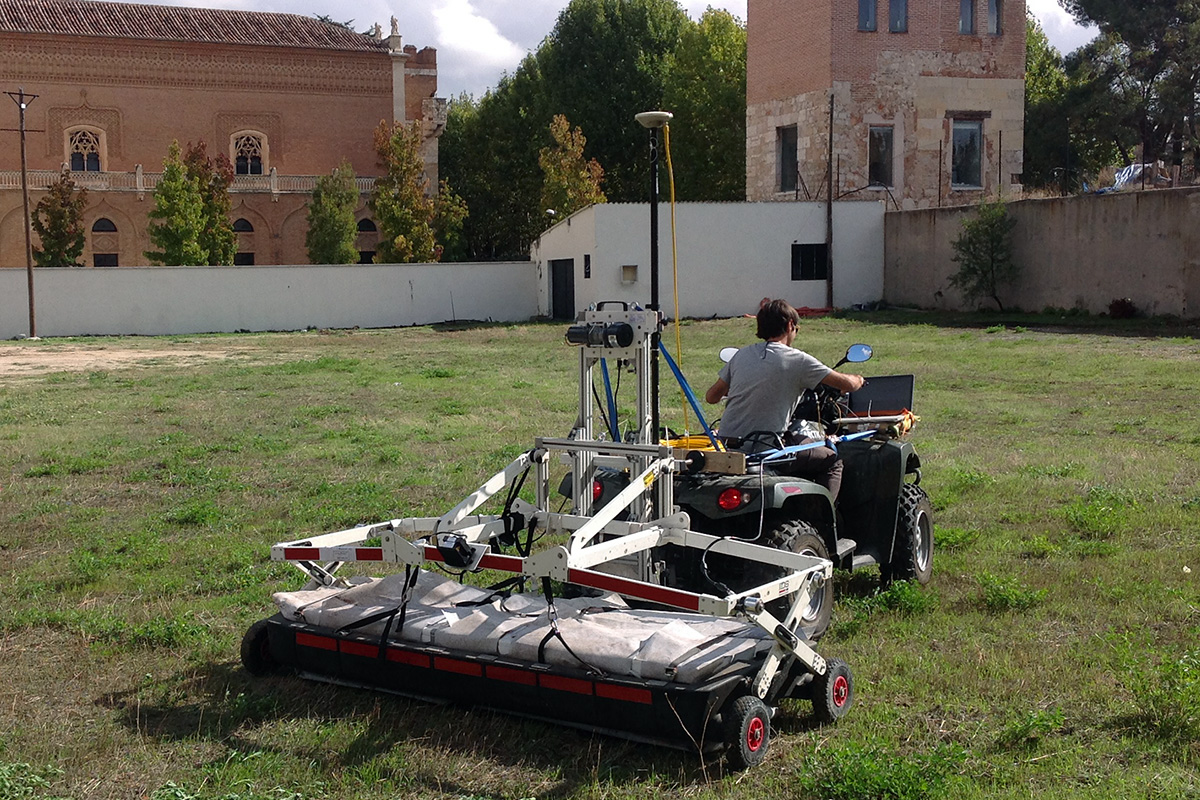
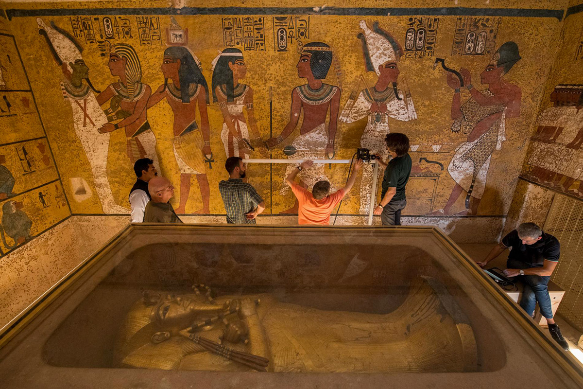
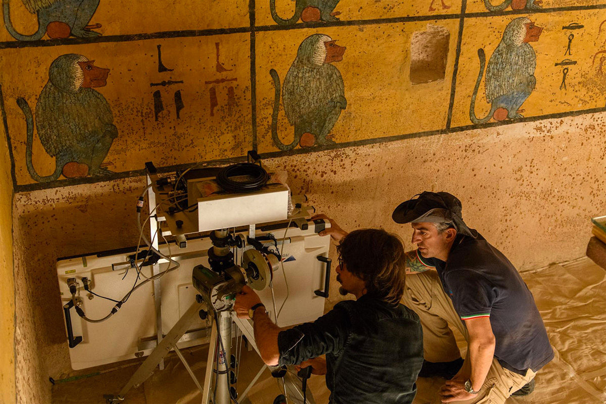
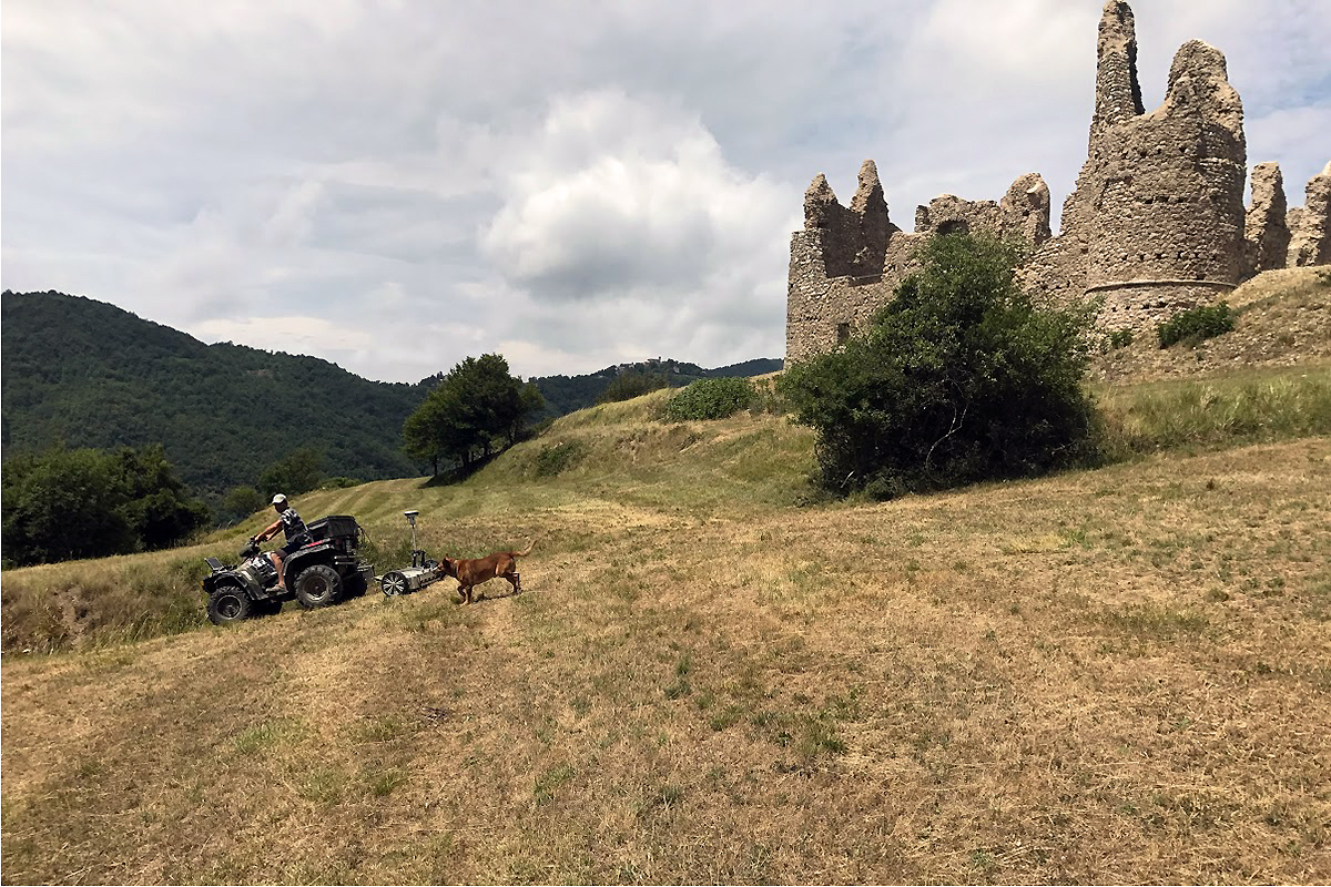
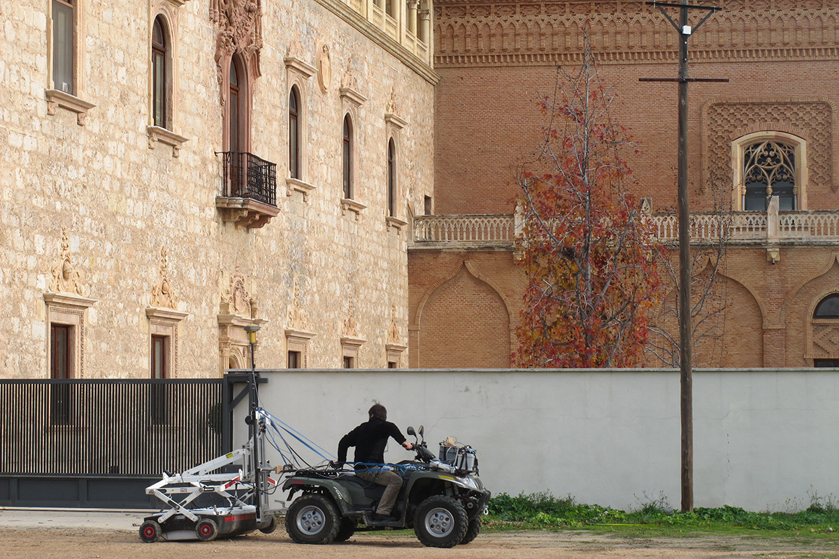
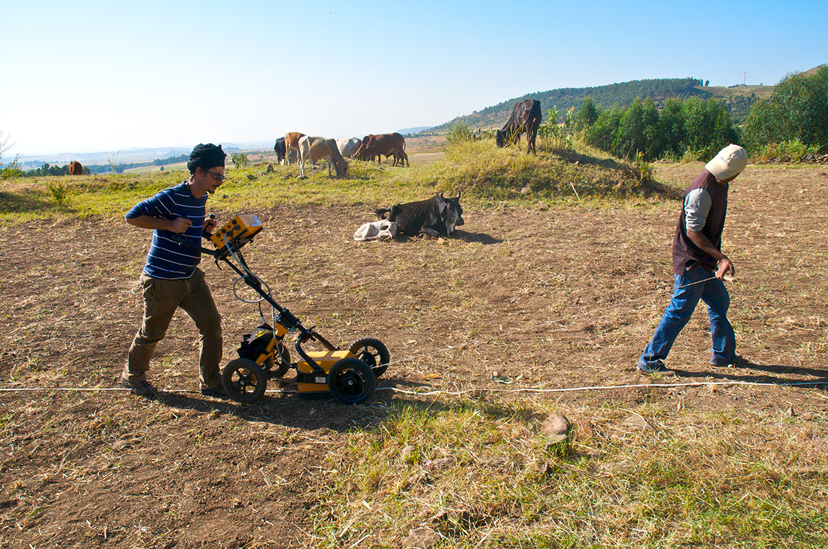
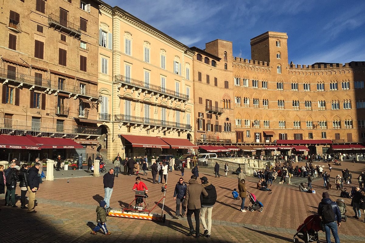
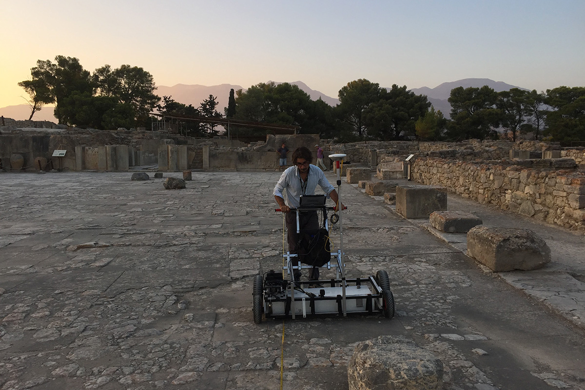
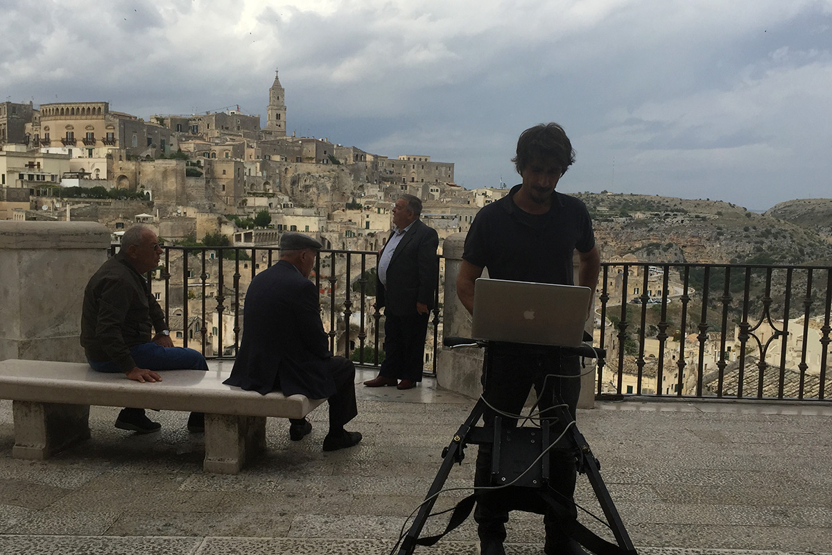
GEORADAR SURVEYS
Cultural Heritage
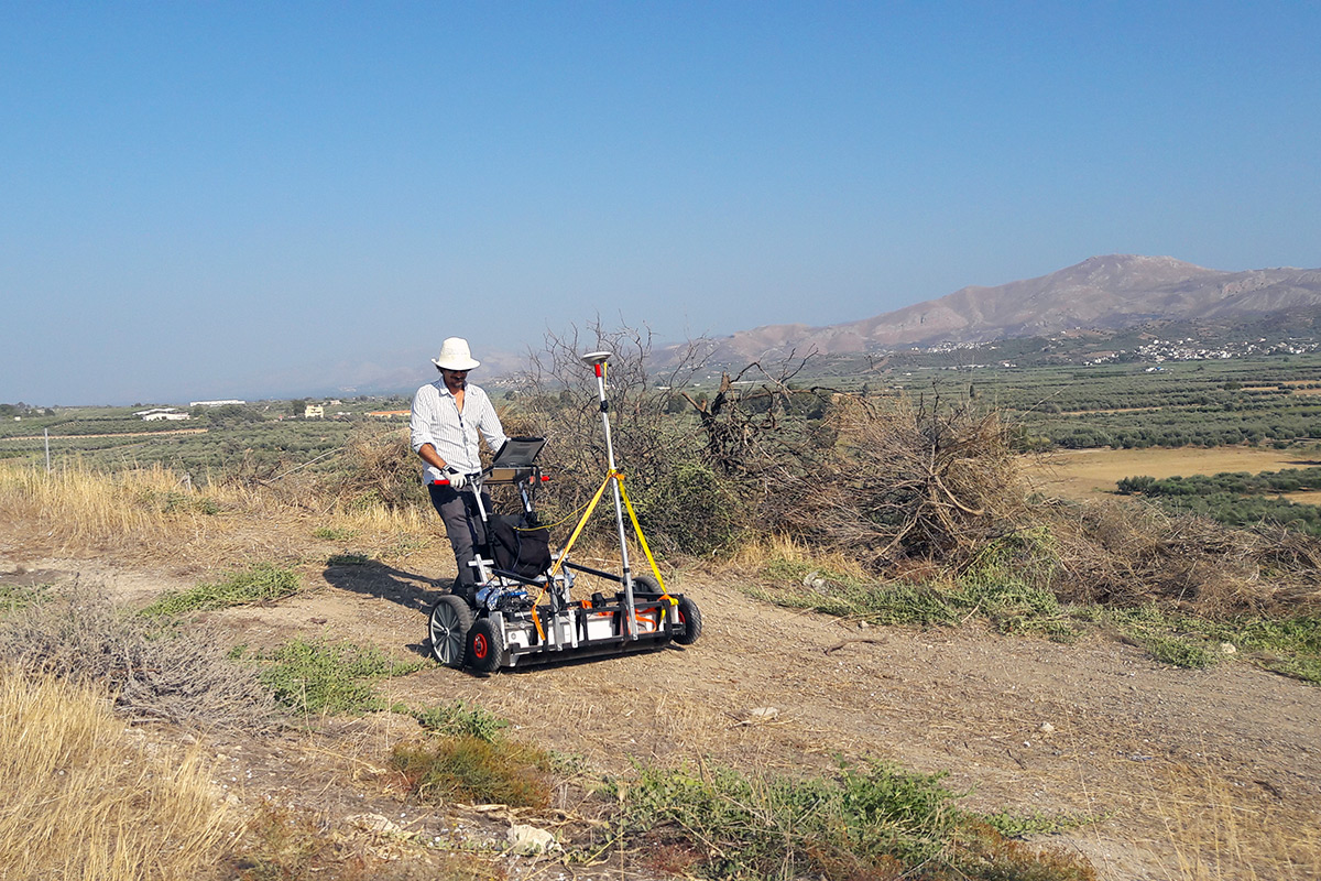
3D Ground Penetrating Radar is a cutting edge geophysical technique providing the most accurate measurement and representation of the subsurface, useful both for precise archaeological reconstruction and for broader site characterization, allowing investigations in urban and rural areas, varying from local-site to landscape scale. 3D-GPR enables to approach a broad spectrum of Cultural Heritage applications:
– Archeological mapping for risk reduction (Preventive Archaeology) and site valorization;
– Archaeological mapping for excavation planning and site assessment;
– Locating of specific buried structures and underground deposits
– Diagnosis of historical building, materials and artworks, for preservation and restoration actions.
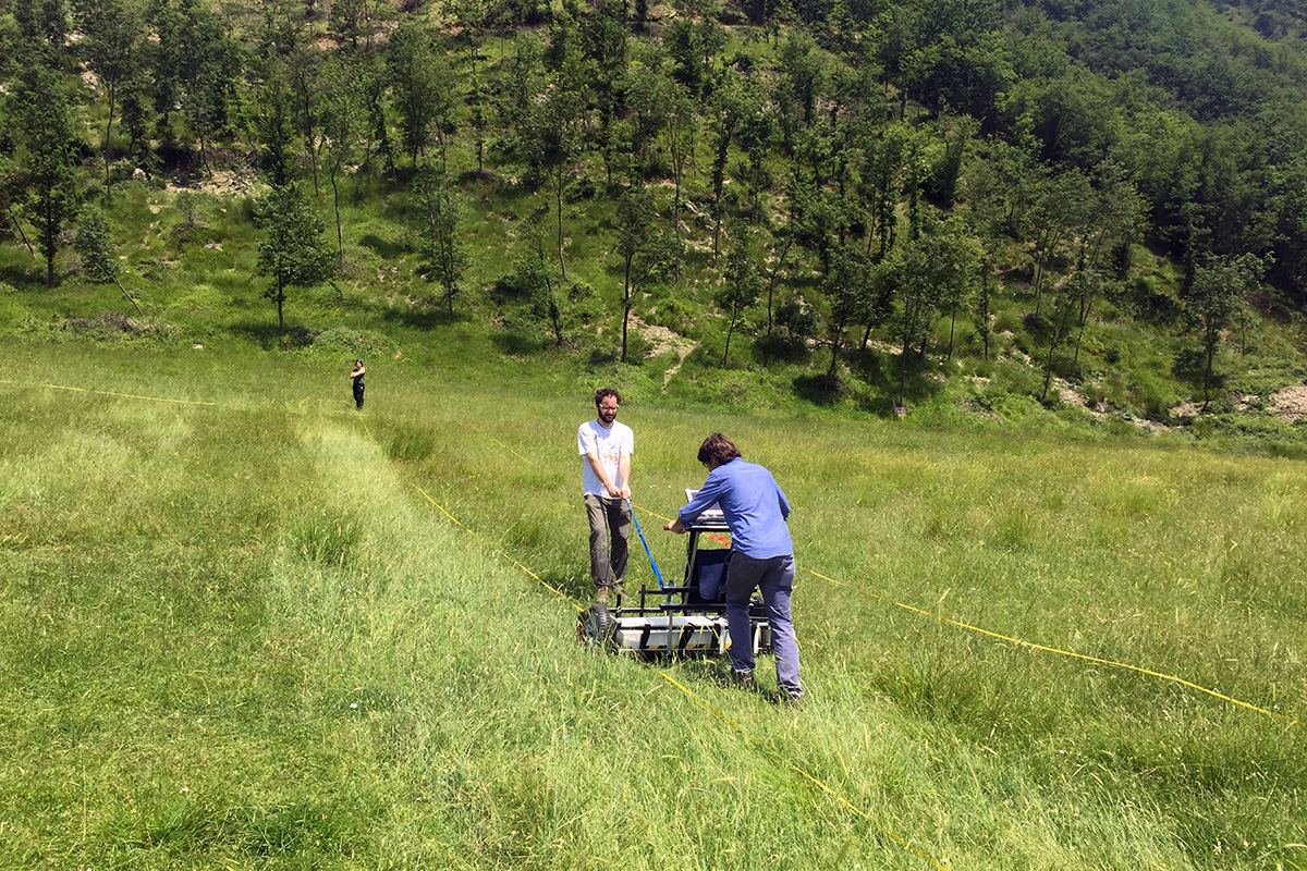
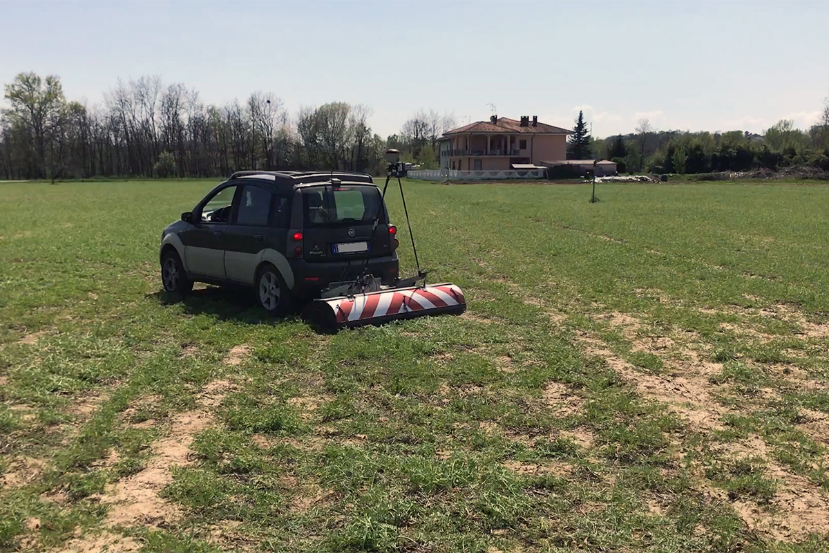
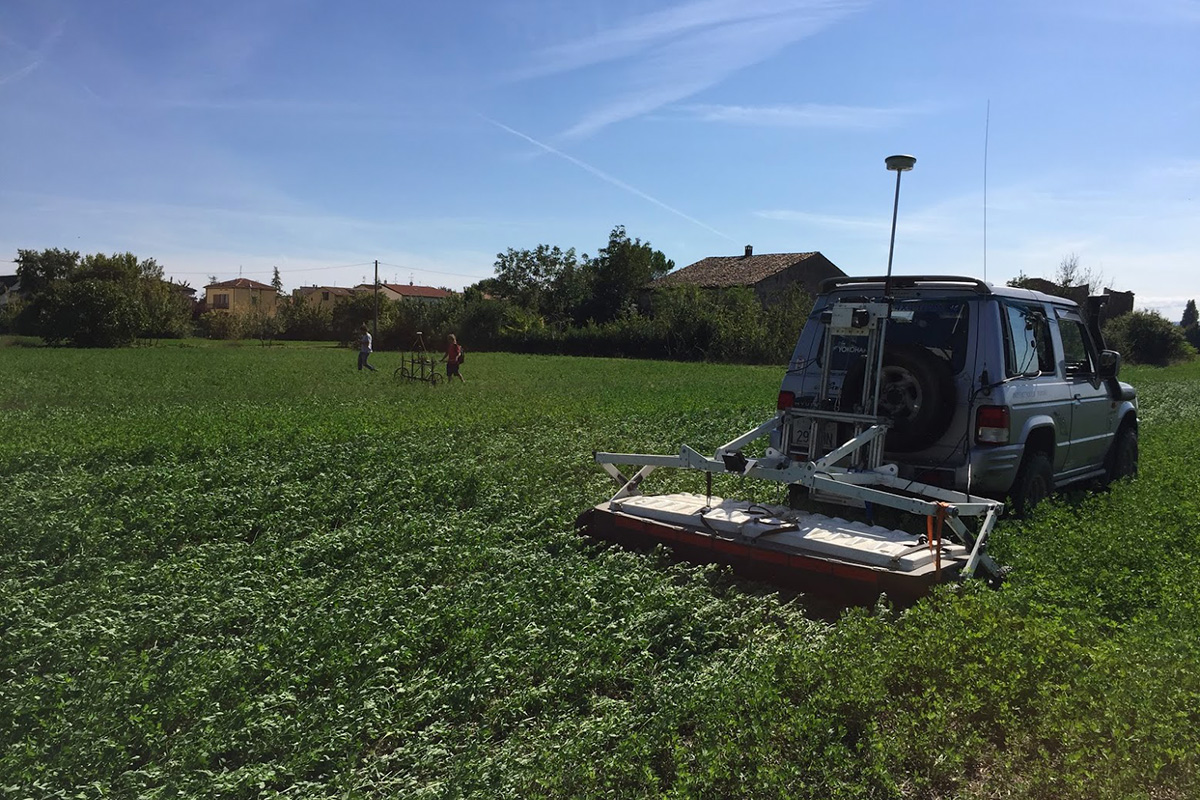
GEORADAR SURVEYS
Geology & Environment
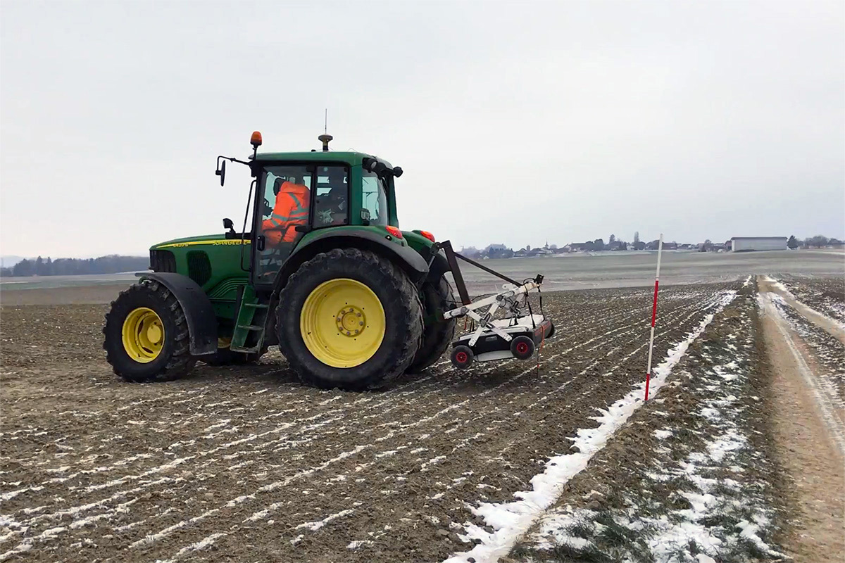
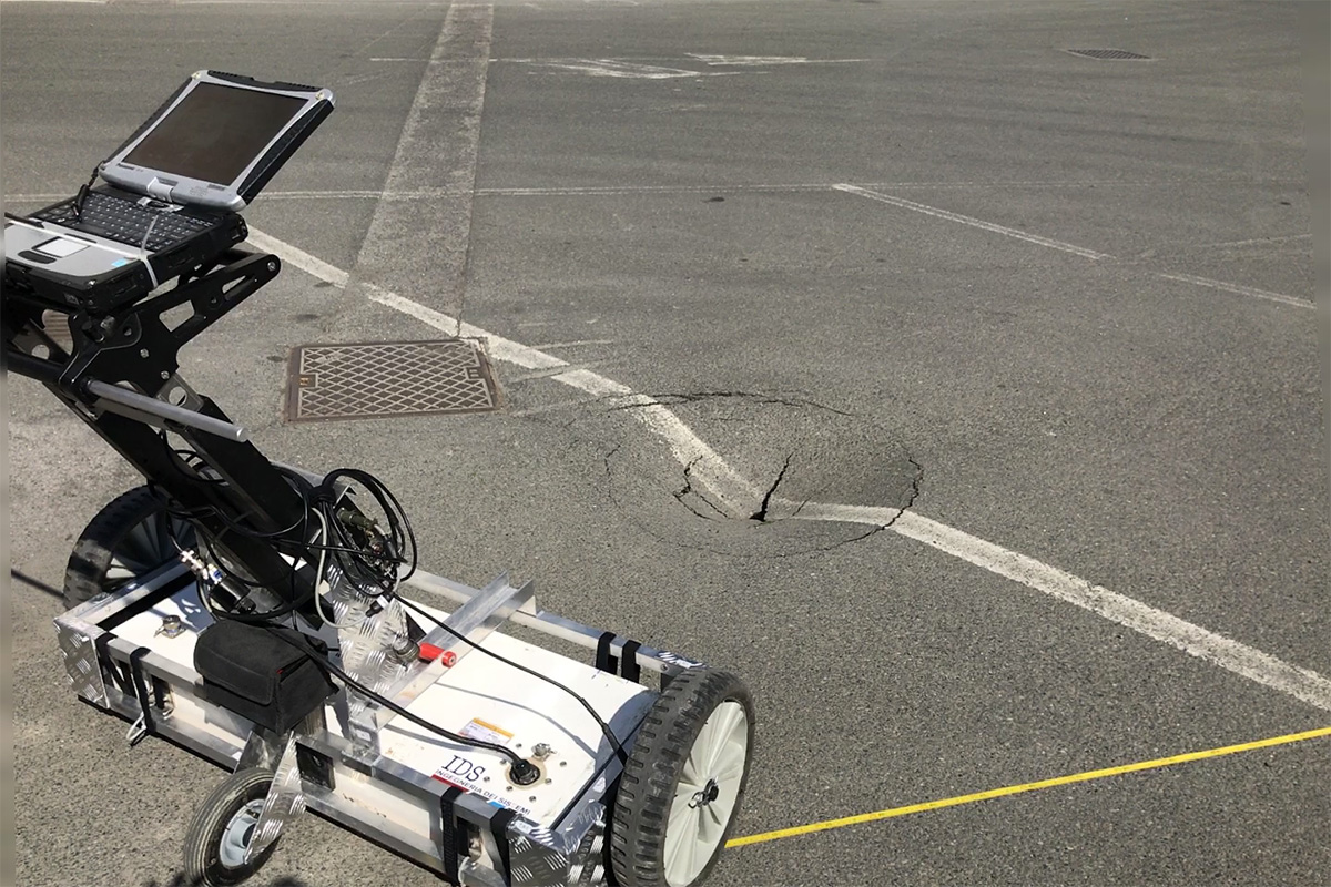
The ability of GPR to see through and into natural and anthropic materials by a non-invasive approach, allows to determine the subsurface structure and to detect almost any type of buried features. 3D-GPR extends the productivity of the technique and enables three-dimensional representation, providing a realistic dimensional reconstruction of the objects under investigations. 3D-GPR is the leading tool to locate and map geological and environmental features:
– Stratigraphic layering and rock-features profiling and mapping;
– Cavities and sink-holes locating for natural risk reduction;
– Detection of buried tanks and foundations remains for site remediation;
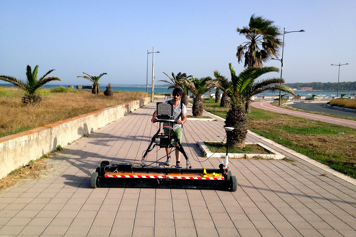
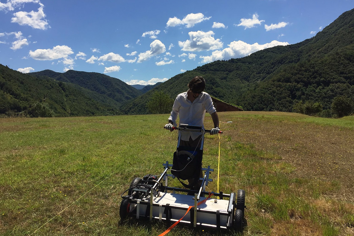
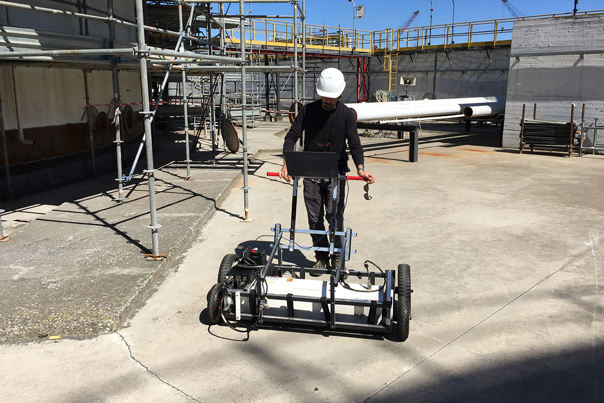
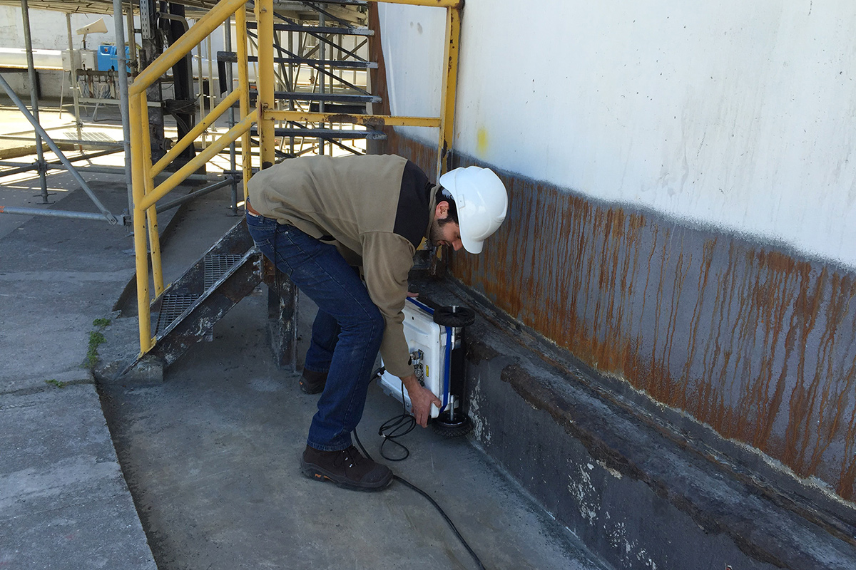
GEORADAR SURVEYS
Structural Assesment & Engineering
GPR is broadly accepted and consolidated among the Civil Engineering community, mainly for the flexibility and accuracy in detecting all reinforcement elements and to monitor and assess the conservation status of civil infrastructures, including road, bridges, railways, tunnels, and dams. Flexible instrument configurations can address all kind of on-site logistic, including confined spaces and hardly accessible areas. Past limitations of the method have been overcome by last generation 3D-GPR equipment, with its ability to cover large areas with increased productivity at reduced costs. Multi-antenna high frequency GPR can lead to the full imaging of the concrete elements, providing accurate representations of its structure:
– Detection and imaging of rebars, post-tensioned cables, conduits and utility networks;
– Tunnel inspection and testing;
– Lining inspection, concrete health assessment, ribs and post-tensioned ducts localization;
– Extensive utility detection for damage prevention and pipeline relocation design;
GEORADAR SURVEYS
Forensic & Humanitarian
GPR is a well-established method in military and forensic applications, being able to detect metallic
and non-metallic buried objects, subsurface discontinuities related to burial, graves and
hidden caches. 3D-GPR allows to conduct large-scale investigations, providing high-definition representations of hidden objects and burial evidences.
Typical applications include:
– Unexploded ordnance and unexploded bombs location.
– Locating and imaging of clandestine graves, hidden victims and weapons.
– Cemetery mapping and gravesite locating.
– Location of Unexploded Ordnance (UXO), unexploded bombs (UXBs)